


")
| Archaeological Risk Maps |
|
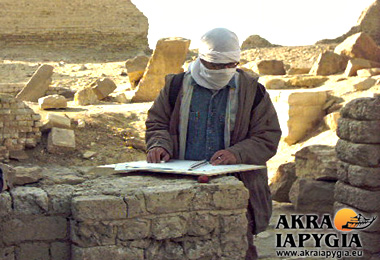
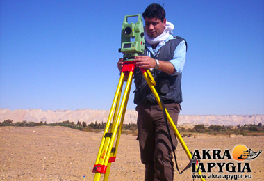
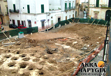
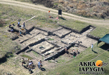
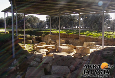
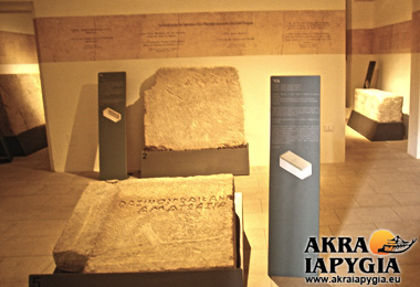
Akra Iapygia’s expert in-house archaeologists, specialised in archaeological topographical surveying and mapping have many years of experience. They are especially skilled in assisting clients in archaeological impact assessments called VIAR (Valutazione Impatto Archeologico) by drafting risk maps of archaeological heritage. The analysis of evidence of pre-existing archaeological features in the areas involved in the projects (carried out by field-surveying or indirectly, by ancient sources as well as by aerial photographic and cartographic documentation) enables us to adequately assess the potential ‘archaeological risks’, identify the issue at the earliest stage and develop effective mitigation strategies not only to protect ancient archaeological remains, but also to stay within the budget, restricting at most extra-expenses caused by changes in a programme during making works.. The risk map, often required under current legislation, is not only a fundamental tool in carrying out proper urban planning (in the case of public agencies), but also in producing cost-effective and successful projects (in the case of private industry). |


